Dr. Witold Krajewski and Dr. Ricardo Mantilla
August 30, 2019
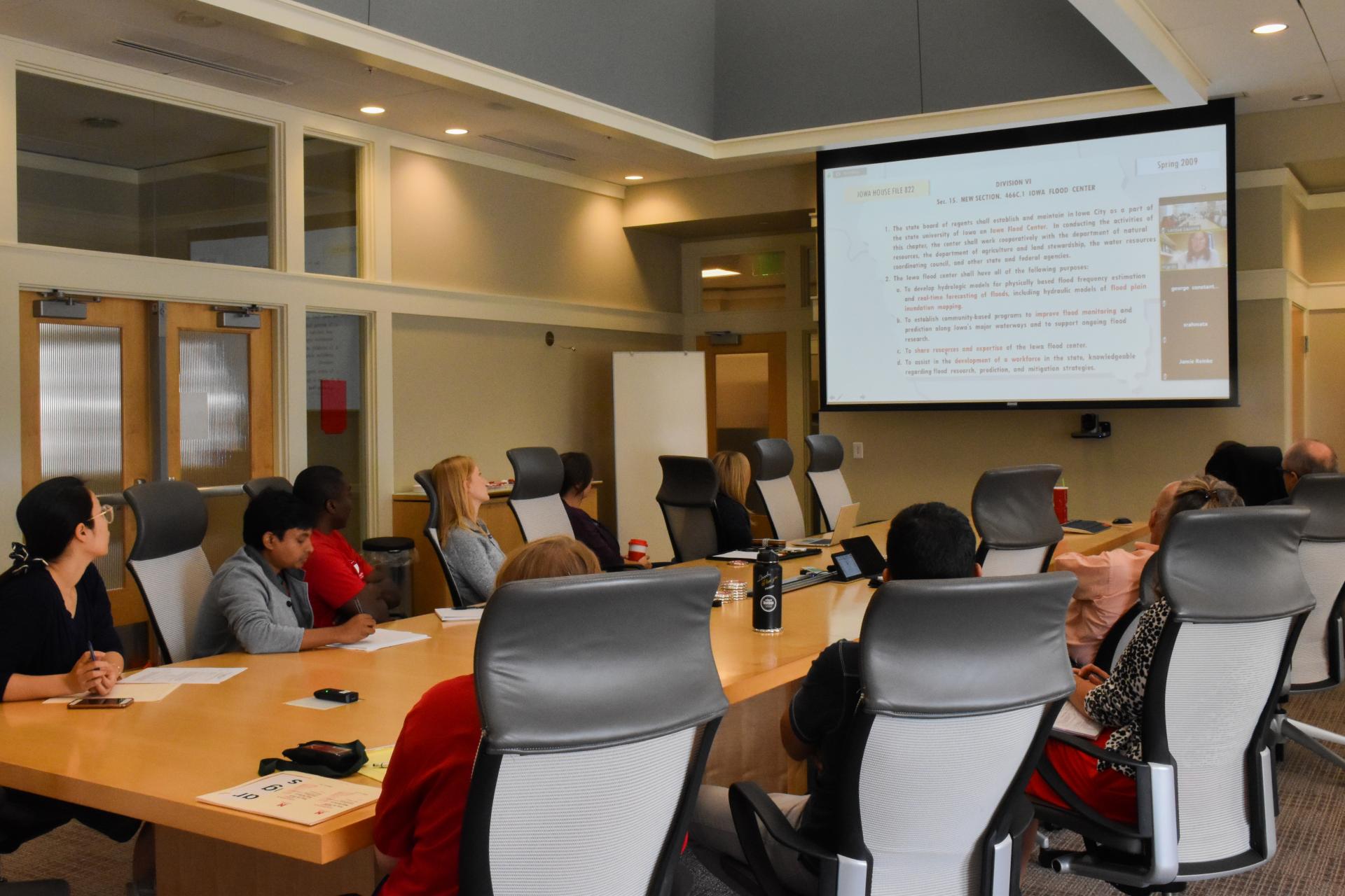
Dr. Ricardo Mantilla, assistant professor at the University of Iowa, discussed flood forecasting research sponsored by MATC and the US Department of Transportation. He provided background information on the Iowa Flood Center and discussed tools under development for collecting flood data such as inundation maps. Dr. Mantilla gave a live demonstration of how to use the Iowa Flood Information System, which helps researchers communicate findings with the public. With this system, state Departments of Transportation will be able to better predict and prepare for the impact of flooding on the transportation system in their area.
Research Brief - Real-time Flood Forecasting for River Crossings
Executive Summary
This project seeks to develop tools and frameworks that would allow for the easy transfer and implementation of technologies for food inundation forecasting and prediction at arbitrary locations in the river network of the four sponsoring states. The Iowa Flood Center (IFC) has developed a real-time food forecasting and information dissemination system called IFIS. The system complements the operational forecasting issued by the NWS.
At its core is a continuous rainfall–runoff model based on landscape decomposition into hillslopes and channel links. Rainfall conversion to runoff is modeled through soil moisture accounting at hillslopes. Channel routing is based on a nonlinear representation of water velocity that considers the discharge amount as well as the upstream drainage area. Mathematically, the model represents a large system of ordinary differential equations organized to follow river network topology.
The IFC also developed an effcient numerical solver suitable for high-performance computing architecture. The solver allows the IFC to update forecasts every 15 min for over 1,000 Iowa communities. The input to the system comes from a radar-rainfall algorithm, developed in-house, that maps rainfall every 5 min with high spatial resolution. The algorithm uses Level II radar refectivity and other polarimetric data from the Weather Surveillance Radar-1988 Dual-Polarimetric (WSR-88DP) radar network. A large library of food inundation maps and real-time river stage data from over 200 IFC “stream-stage sensors” complement the IFC information system. The system communicates all this information to the general public through a comprehensive browser-based and interactive platform.
Findings and Outputs
Drs. Krajewski and Mantilla have developed graphical user interfaces for a comprehensive model evaluation that allows for testing model performance in new regions. They have developed methodologies for rapid model implementation and parameterization, the extension of the domain of rainfall product, and techniques for data assimilation to insure high quality food forecasts.
Impacts and Benefits
Flooding continues to be the most impactful natural disaster in terms of lives, damage to property, and travel time due to road closures. An effcient, dynamic, and precise system for forecasting foods will provide Departments of Transportation the ability to prepare and react to sudden fooding conditions that impact the transportation system. These researchers are developing technologies to transfer scientifc ideas into actionable tools and information.